 Paikkatietohakemisto
64 m
Type of resources
Topics
Provided by
Years
Formats
Representation types
Update frequencies
Scale
Resolution
-
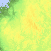
Elevation zones is a raster dataset that visualises elevation of the terrain. The product covers the whole of Finland. There are four product versions available in which the pixel sizes are 32, 64, 128 and 512 metres. The dataset does not contain elevation values; it is a colour image that visualises the height of the terrain above sea level as zones. The sea is shown in light blue in the elevation zone. The product Elevation zones is available as a version that covers the whole country and as versions that cover a certain area. The product belongs to the open data of the National Land Survey of Finland.
-
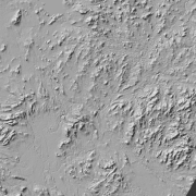
Hillshade (elevation model) is a raster dataset visualising the elevation of the terrain. There are five product versions available in which the pixel sizes are 2, 8, 32, 64, 128 and 512 metres. Pixel size 2 m has been produced of the dataset Elevation model 2 m. The other sizes have been produced of the dataset Elevation model 10 m. The material does not contain elevation values; it is a greyscale image that visualises the direction and steepness of hills. The product belongs to the open data of the National Land Survey of Finland.
-
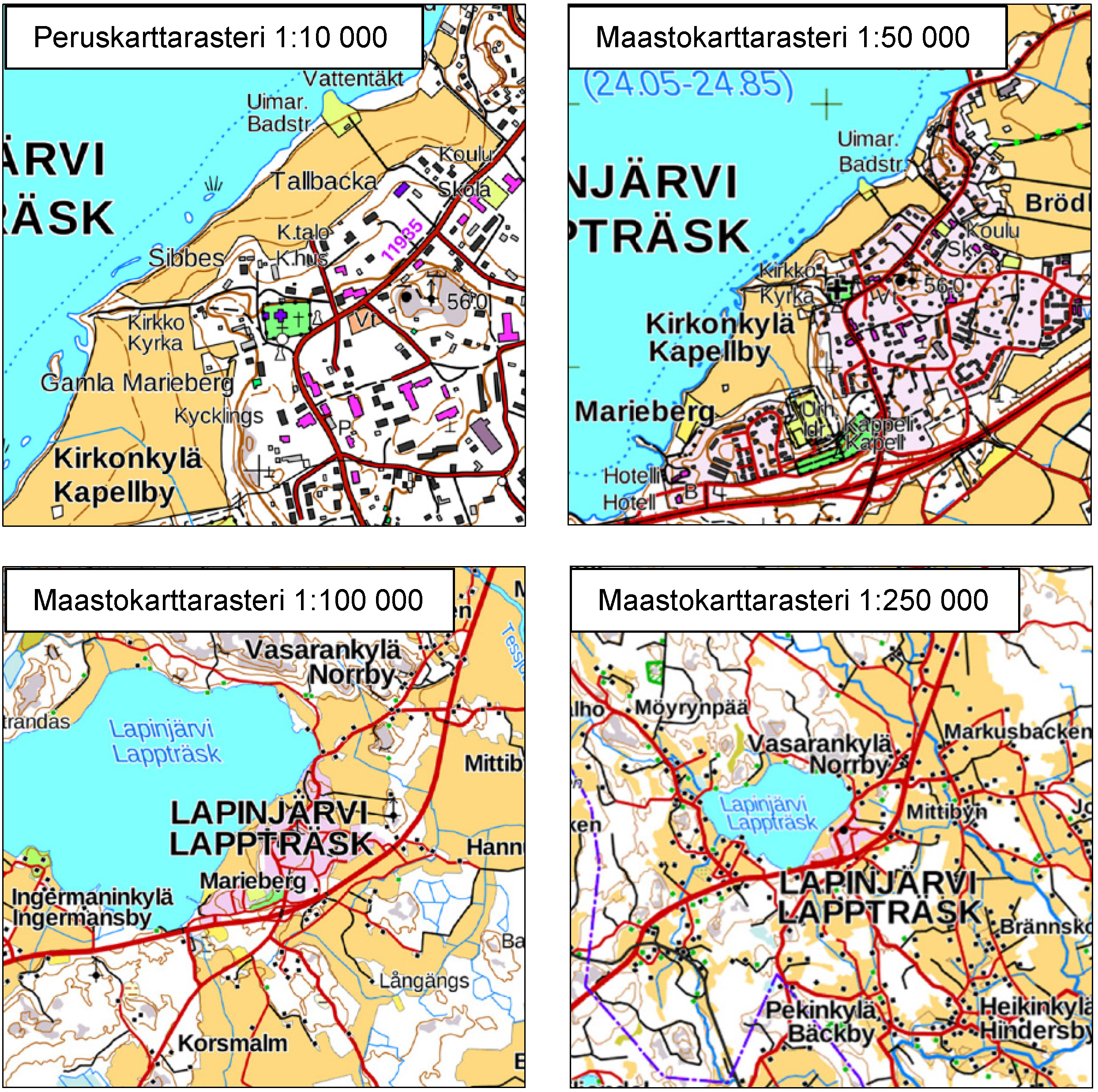
The Topographic map is a dataset depicting the terrain of all of Finland. The key elements in it are the road network, buildings and constructions, geographic names, waterways, land use and elevation. The more precise levels of the Topographic map consist of the same map objects and map symbols depicted in the same way as in the familiar Basic map. Basic map raster is applicable to be used, for instance, as a base map for planning land use or for excursion and outdoor recreational purposes in mobile devices and in various Internet services associated with nature. When going over to the more general datasets in the Topographic map, the number and visualisation of objects and map symbols changes. The generalised small-scale Topographic maps raster are applicable to be used as approach maps in e.g. mobile devices and Internet services. The product belongs to the open data of the National Land Survey of Finland.
-

The Background map is a dataset product series in raster format that depicts the whole of Finland and that is meant for web use as a background material for thematic data. Its key objects are road names, roads and railways, buildings and constructions, administrative borders, geographical names, waterways, land use and addresses of buildings (from the Digital and Population Data Services Agency). The product belongs to the open data of the National Land Survey of Finland.
-
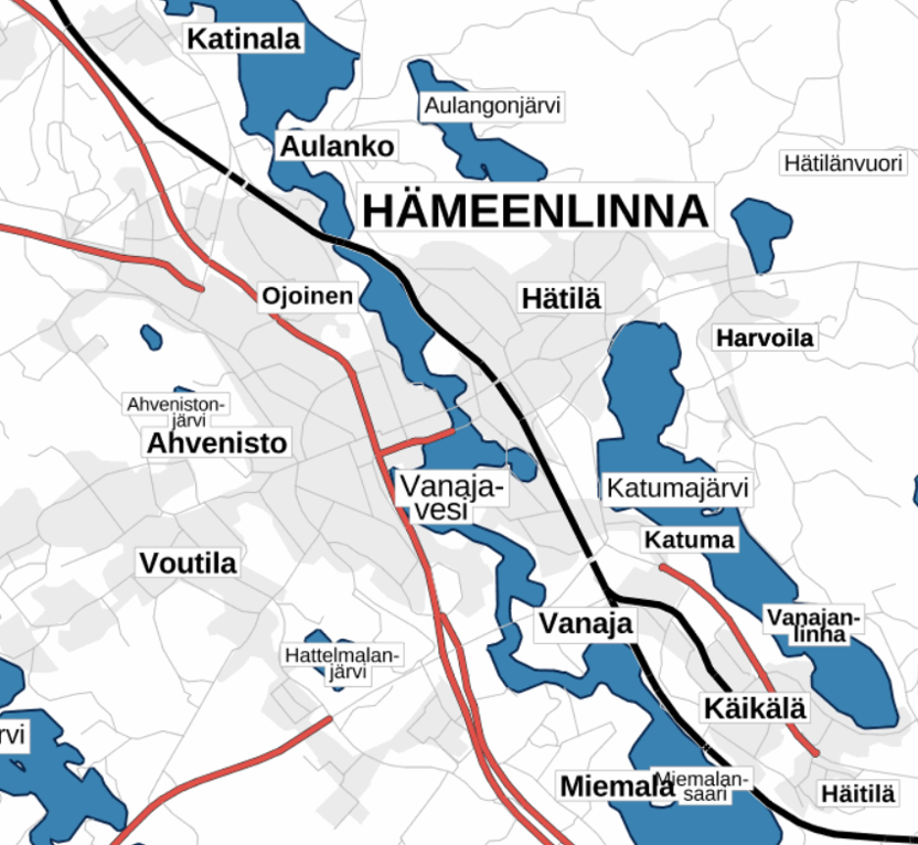
The Plain map series is a simple, plain and readable dataset product series in raster format that depicts the whole of Finland. The product is meant to be used as a background map whose character changes to a guide map in large scales. Impaired vision has been taken into account when designing the product. The key objects presented on the map are roads and railways, road names, buildings and constructions, administrative borders, waterways and other geographical names. The road network, public buildings and texts have been especially emphasised. The most usual limitations of colour vision have been taken into account in the use of colours. The product belongs to the open data of the National Land Survey of Finland.